
Storm Results in Flash Floods, Washouts
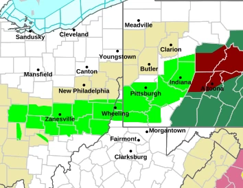
The rain that began around 10 p.m. Wednesday night continued falling overnight before an hours long heavy downpour cut loose at daybreak with between two and three inches recorded.
Many roads were covered and flooding prevalent from Wheeling to Columbus. The Noble County Sheriff’s Department reported a dozen state highway routes in the county closed and, at locations, impassable.
At 2:58 p.m., the Pittsburgh Office of the National Weather Service issued the following emergency announcement.
…FLOOD WARNING NOW IN EFFECT UNTIL 930 PM EDT THIS EVENING…
* WHAT…Urban areas and small streams flooding caused by excessive
rainfall continues.
* WHERE…Belmont County in east central Ohio…
Southeastern Harrison County in east central Ohio…
South Central Jefferson OH County in east central Ohio…
Northeastern Monroe County in east central Ohio…
Brooke County in northern West Virginia…
Marshall County in northern West Virginia…
Ohio County in northern West Virginia…
* WHEN…Until 930 PM EDT Thursday.
* IMPACTS…Flooding of rivers, creeks, streams, and other low-lying
and flood-prone locations is imminent or occurring. Numerous roads
remain closed due to flooding. Streams continue to rise due to
excess runoff from earlier rainfall. It will take several hours for
all the water from these storms to work through local drainage
systems in urban areas.
* ADDITIONAL DETAILS…
– At 258 PM EDT, gauge reports indicated heavy rain. Flooding is
ongoing or expected to begin shortly in the warned area. Between
2 and 3 inches of rain have fallen.
– Some locations that will experience flooding include…
Wheeling, Moundsville, Martins Ferry, St. Clairsville, Bellaire,
Warwood, Bethlehem, West Liberty, Triadelphia, Clearview, Valley
Grove, Shadyside, McMechen, Powhatan Point, Glen Dale,
Tiltonsville, Bridgeport, Benwood, Yorkville and Bethany.
– http://www.weather.gov/safety/flood
SR 147 west of Baileys Mills that often floods, did. In nearby Quaker City, one contributor to the: Quaker City – What’s Happening Now” Facebook page wrote this a little after 9 a.m. “Creek is getting high…hope rain is done or we will be flooded.” And, while the rain did taper by that time, the wish was in vane.
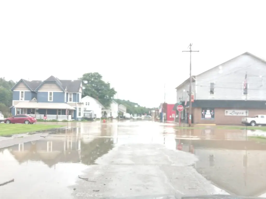
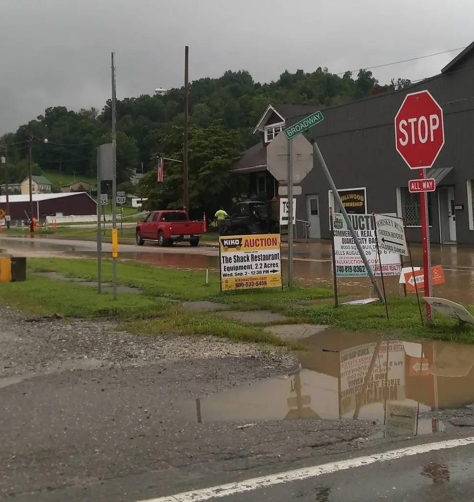
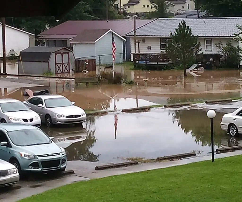
Meanwhile, even Barnesville high on the hill, experienced issues. Village Administrator Roger Deal noting by text, “we had lots of problems over town not just flooding but problems with our sewer and storm systems.”
In Belmont County, some roads that normally are not impacted by runoff were, including the intersection of SR 147 and SR 149 west of Belmont that was impassable for a period of time.
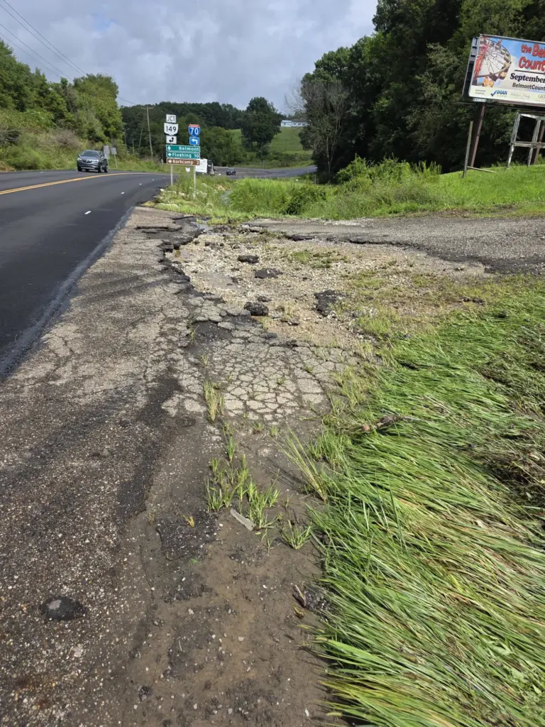
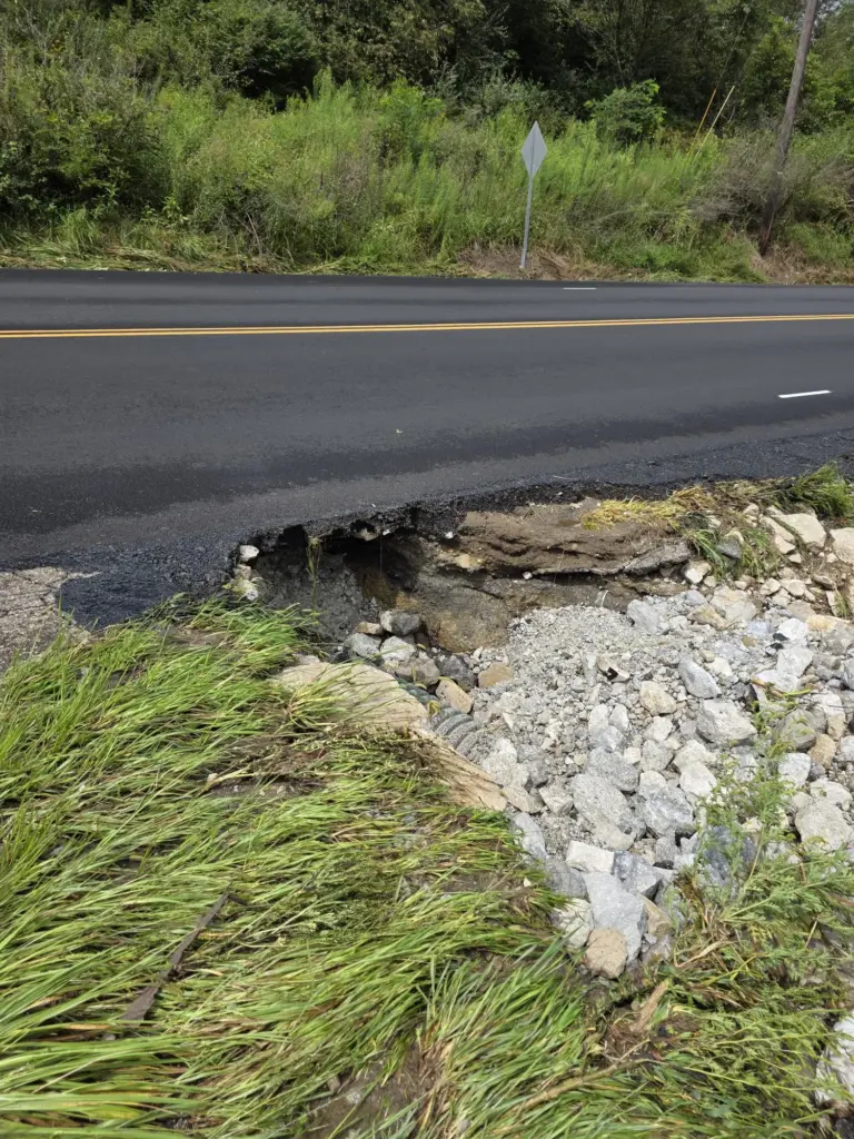
Interestingly, around 2 p.m., the sun finally appeared brightening the landscape as if nothing ever occurred.


Barnesville Area News Needs Your Support!
We're dedicated to providing coverage of the local happenings in Barnesville and the neighboring communities.
As a non-profit entity, we rely on the donations of readers like you.
Make a donation today and you'll be helping keep local news alive in the Barnesville area.